
Concordia
Explore Northern Pakistan.
An iPhone guide to the mountains of northern Pakistan, from Gilgit-Baltistan to Azad Kashmir, Chitral and Swat: its valleys, lakes and peaks, a planner that turns them into days, and maps and walks made to work where phones don’t.
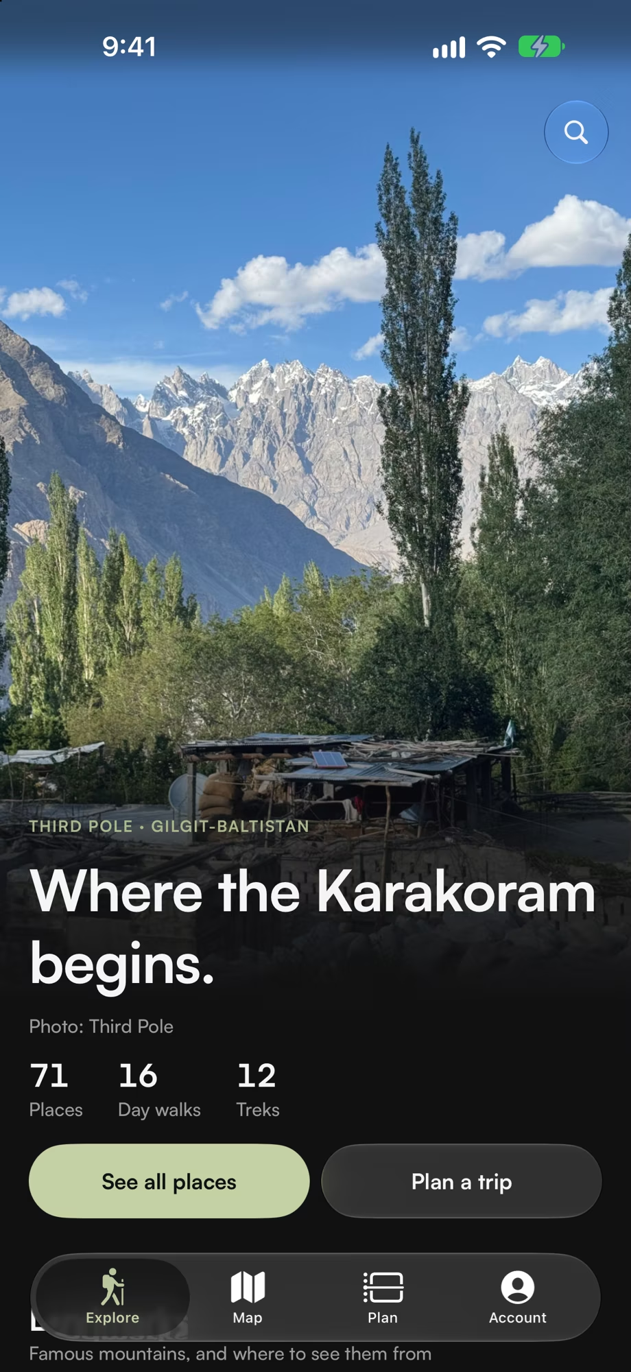
Where the world’s highest mountains crowd together, the signal runs out long before the road does. Concordia keeps the guide, your Plan and the maps on your iPhone, so they still work at the end of the valley.
Get the highlights.
-
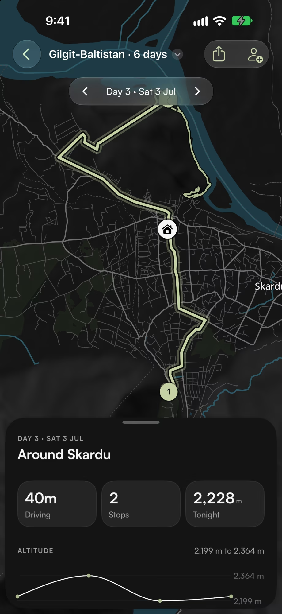
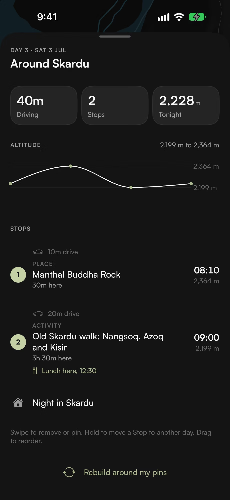
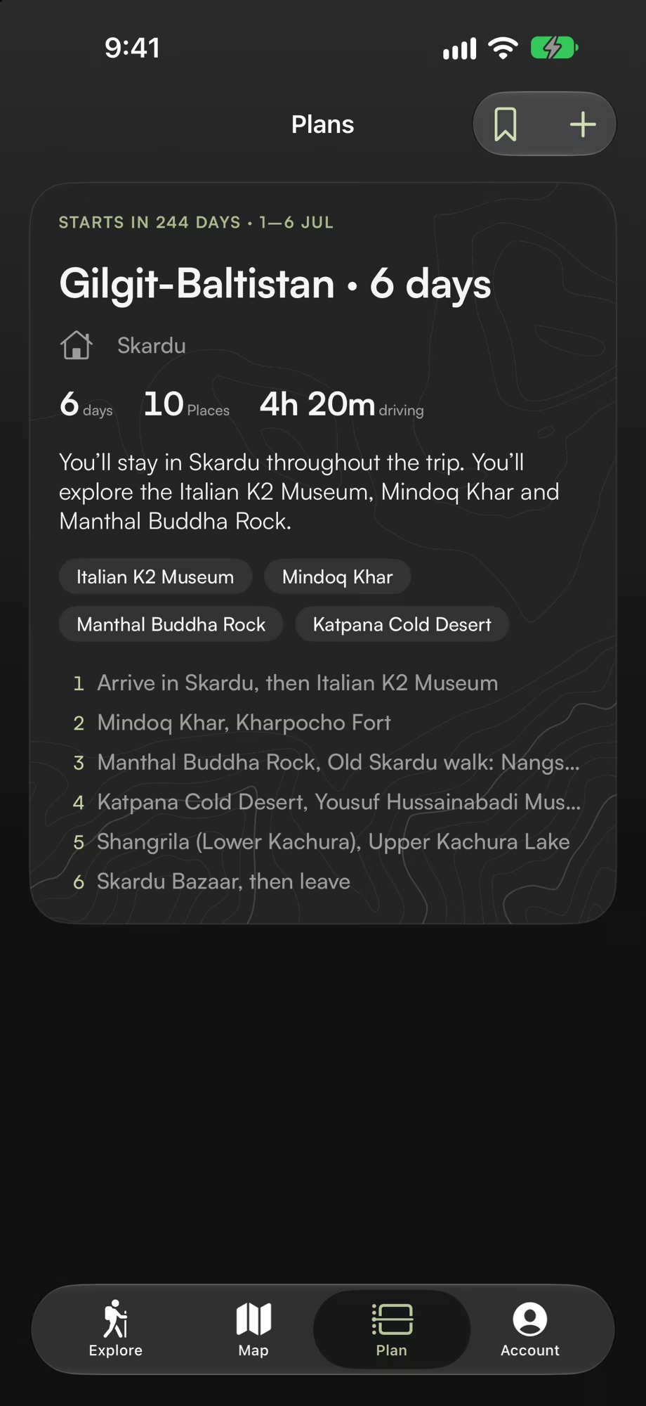
A Plan made around you. Your dates, who’s coming, what you love and your pace become days that fit the roads, the seasons and the altitude.
-
Say it in your own words. Describe your trip and Apple Intelligence fills in the planner, then sums up each Plan, all on your iPhone.
-
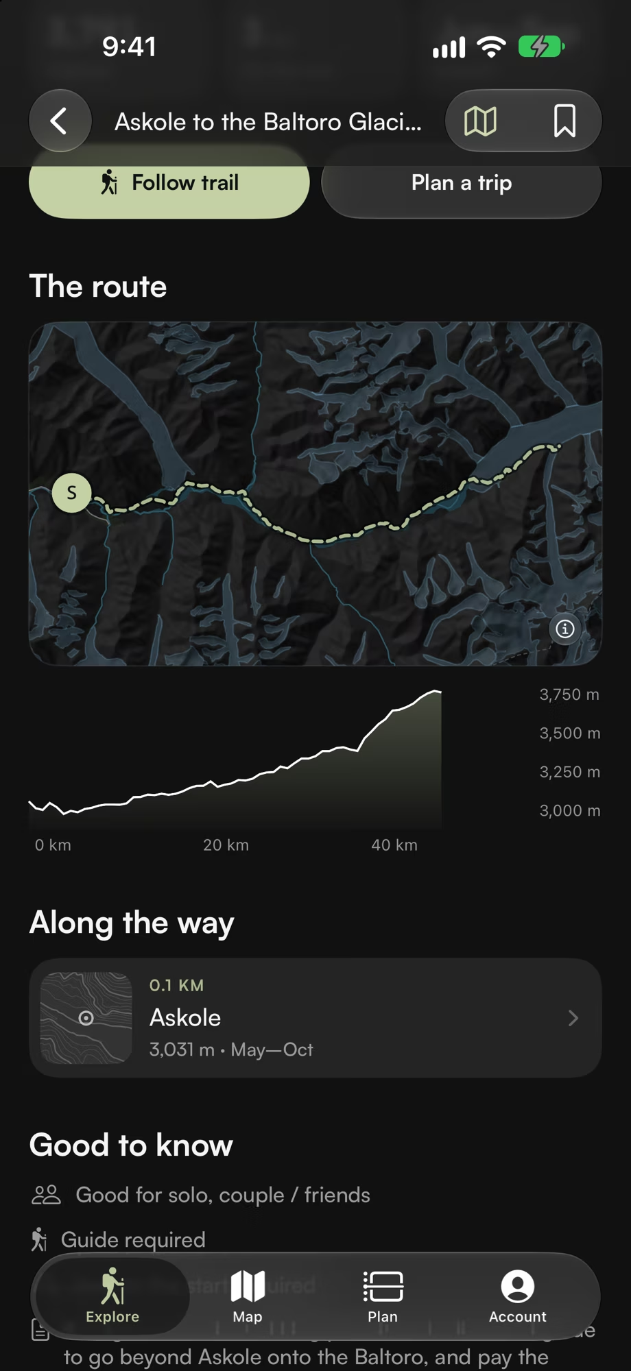
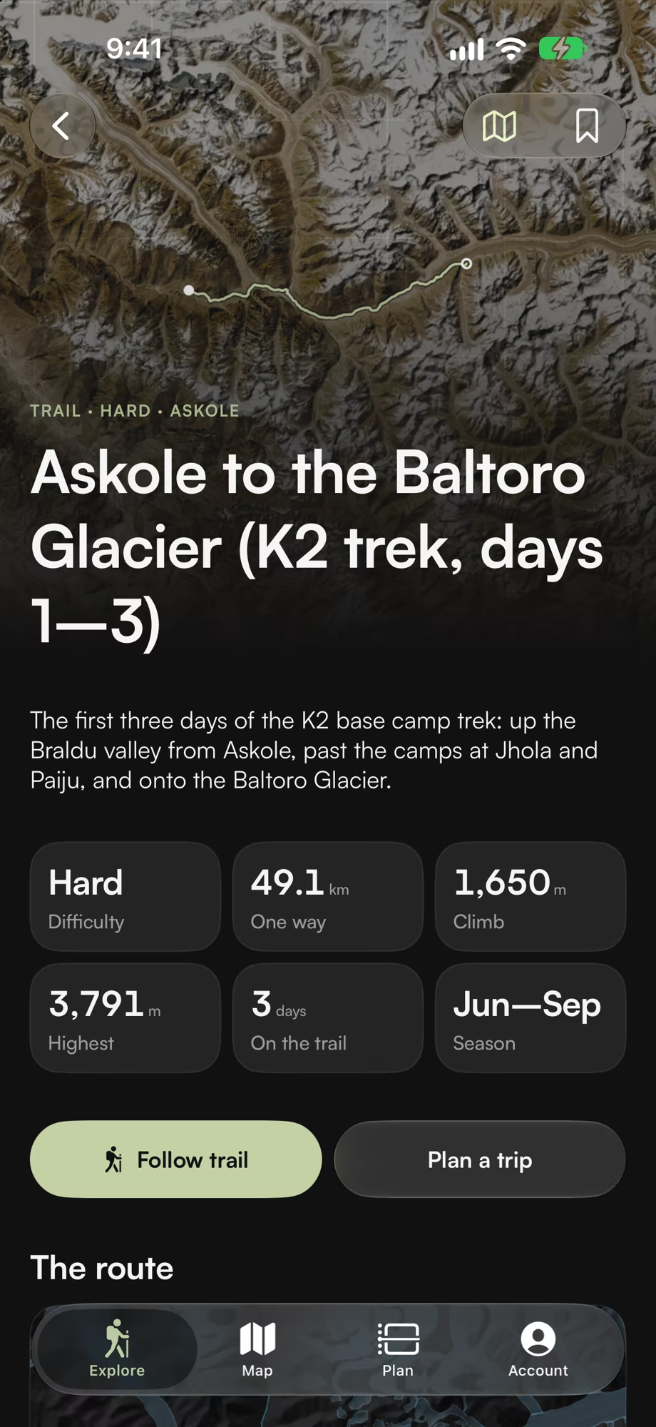
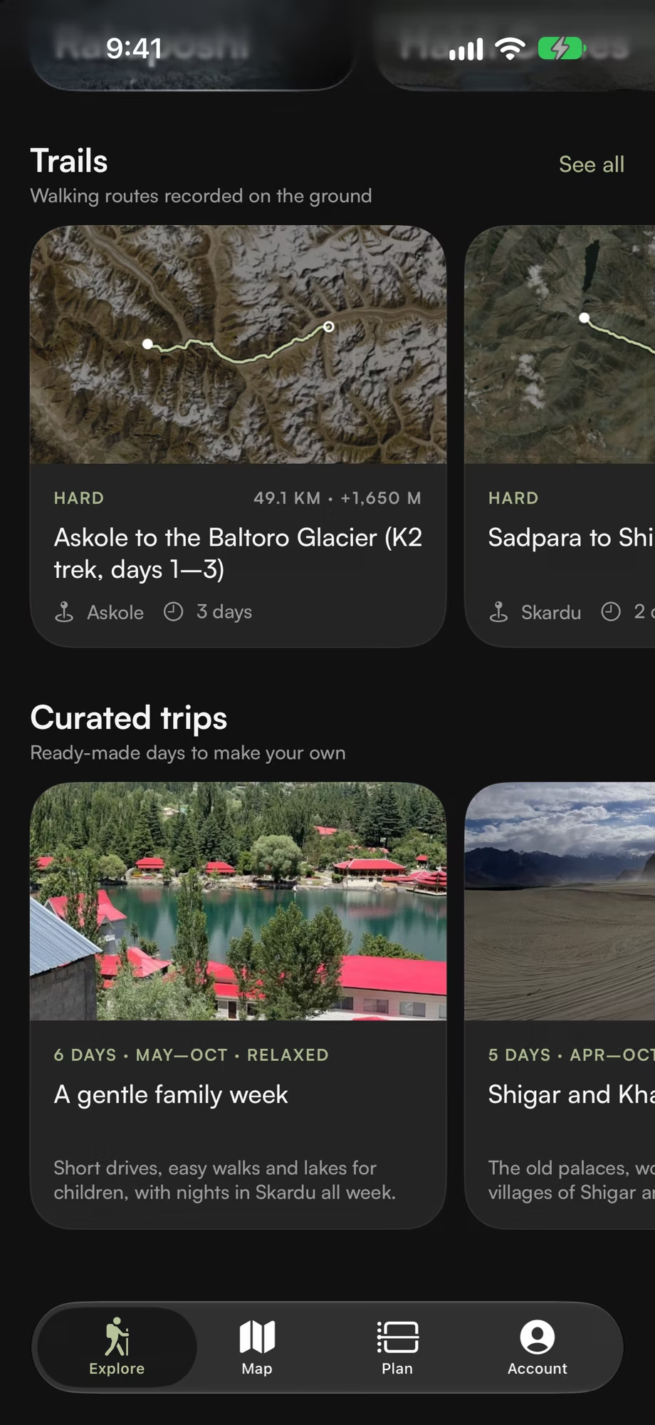
Trails, mapped. Each trail with its route, difficulty, climb, season and walking time, from an hour’s walk to the Baltoro Glacier.
-
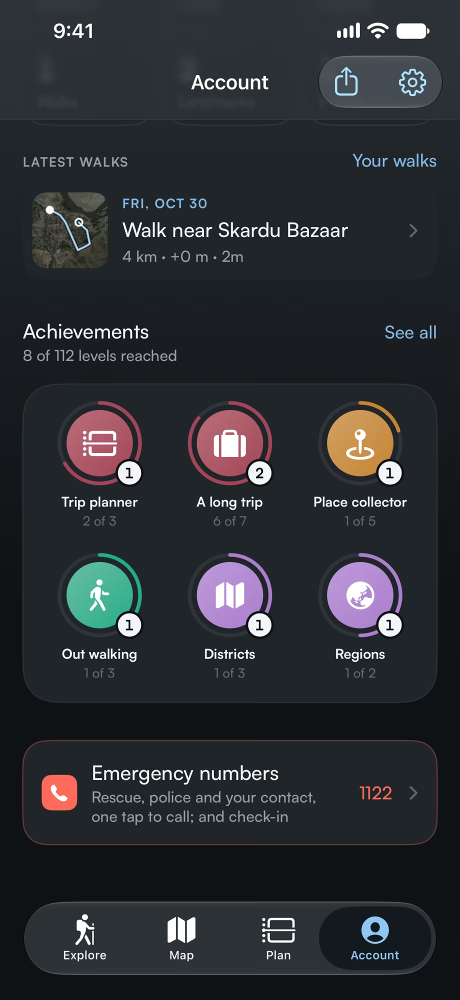
Levels and badges. Walks, climbs and the places you see earn points and badges with levels, to share with friends.
-
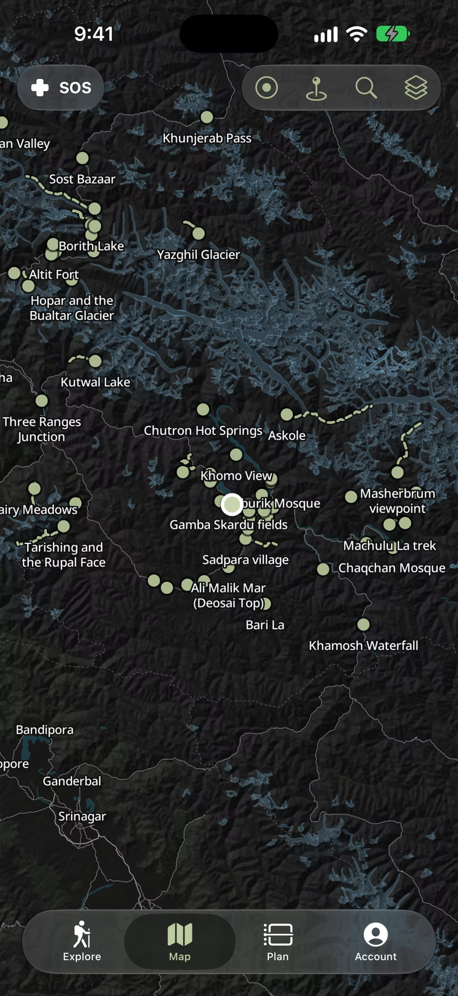
A map with no signal. Download an area once, and its roads, terrain, glaciers and trails work where phones don’t.
-
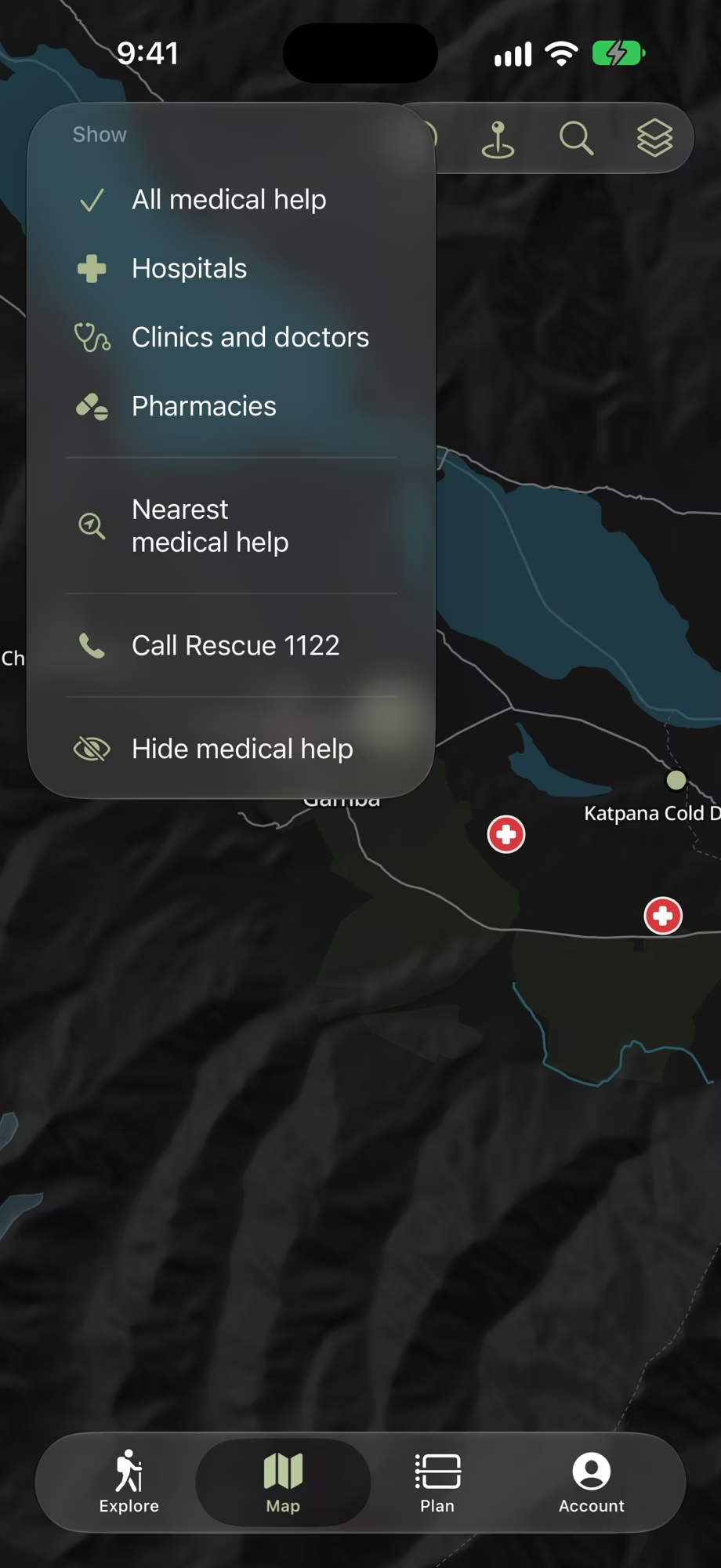
Help, close by. Show medical help for hospitals, clinics and pharmacies on the map, find the nearest, or call Rescue 1122.
-
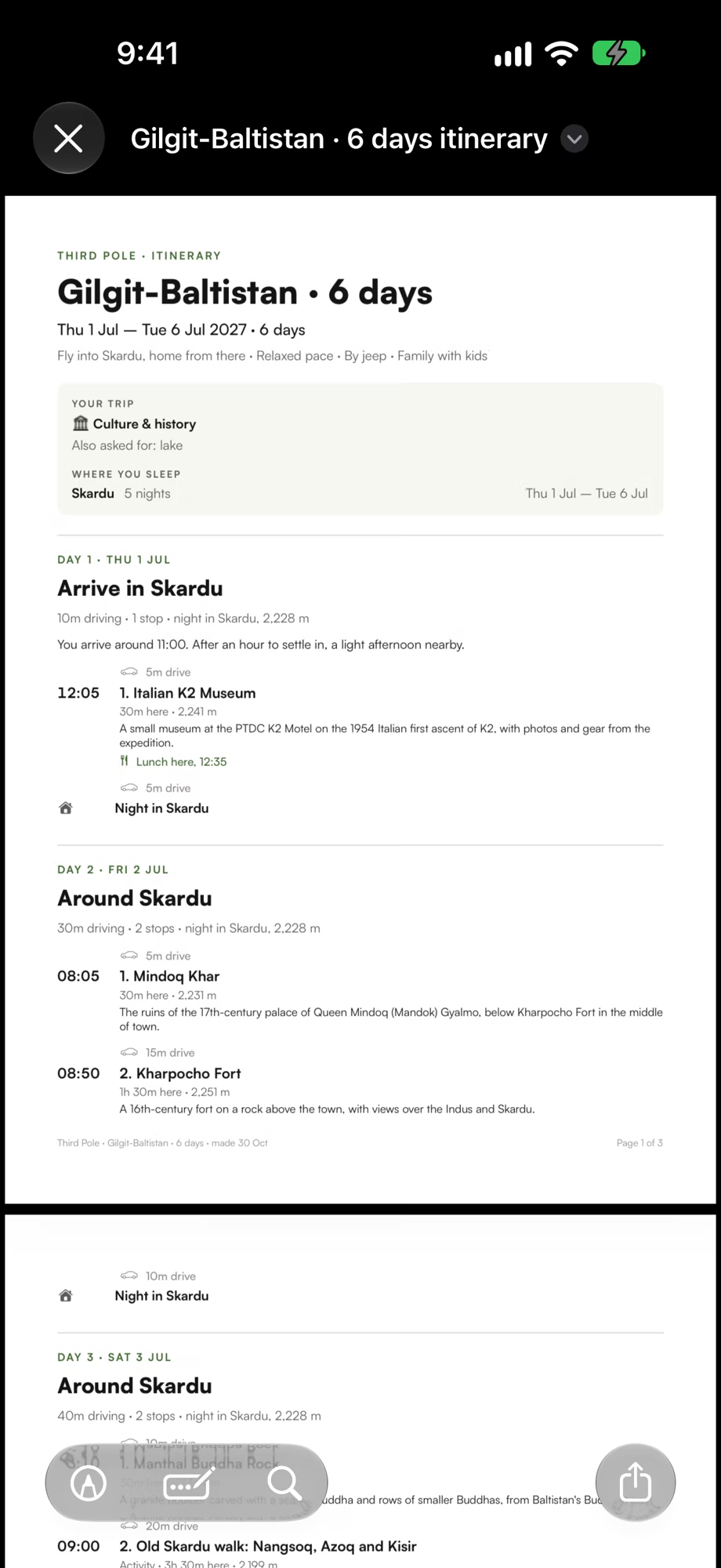
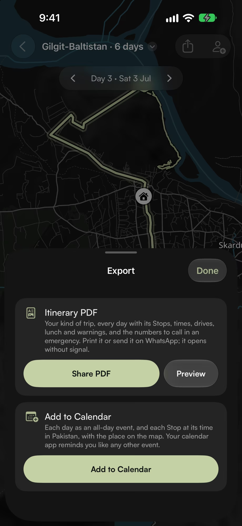
Take it with you. Your itinerary as a PDF that opens without signal, and its days in your calendar.
Made for the mountains.
Everything the app does, at a glance.
A planner that knows the roads. Days stay in one area where they can, drives fit your pace and the daylight, rainy days lean indoors, and places out of season come with a warning.
More than 140 places. Forts, lakes, meadows, viewpoints and villages, from Karimabad and Khaplu to Chitral, Swat and the Neelum Valley.
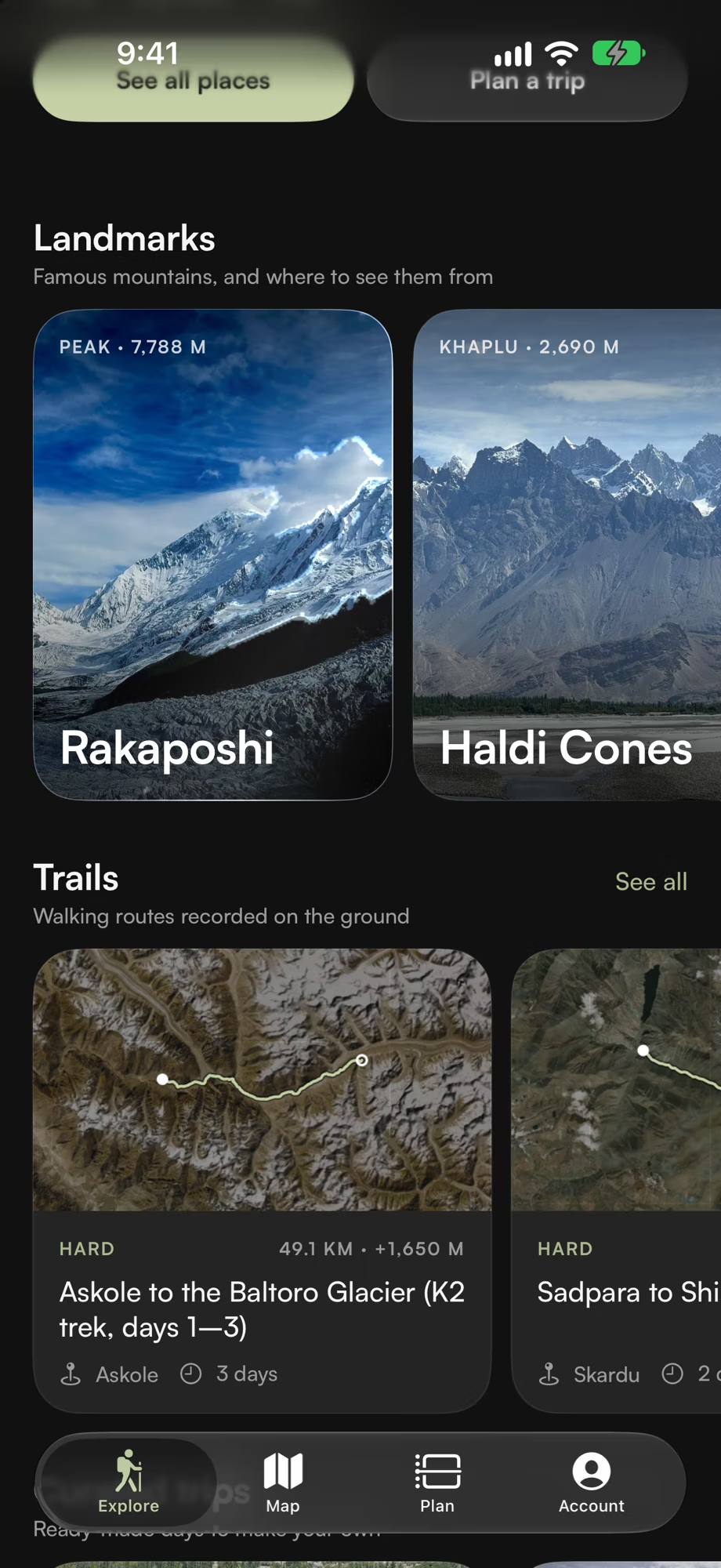
28 trails. Day walks and treks, each with its route, height profile and walking time.
The great peaks. K2, Nanga Parbat, Rakaposhi and Masherbrum, and the places to see them from.
Works without signal. The guide, your Plans and the offline maps live on your iPhone.
Walks. Follow a trail or record your own with the phone locked, get a warning if you leave the path, and export it as GPX.
Check-ins. Say when you’ll be back. If you don’t answer, a text to your contact with where your phone last was is ready to send.
Medical help. Hospitals, clinics and pharmacies on the map, the nearest a tap away, and Rescue 1122 beside it.
Weather for your days. Forecasts from Apple Weather for the places on your Plan, with a warning when heavy rain, snow or storms are due.
Apple Intelligence. Describe a trip, ask about a place or read a summary of your Plan, all worked out on your iPhone.
PDF, Calendar and widgets. Print or share the itinerary, add its days to your calendar, and follow the day in a widget and a Live Activity.
Buses and vans. Every route on one map, with each company’s times and fares, cheapest first, and where to board.
Friends, levels and badges. Earn points and badges as you walk, climb and visit, and share them with friends. Nobody can search for you.
Seven languages. English, Urdu, German, French, Italian, Japanese and Korean.
Private by design. No ads, analytics or tracking, and no account needed. Your Plans and walks stay on your iPhone unless you sign in to sync or share them.
Take a closer look.
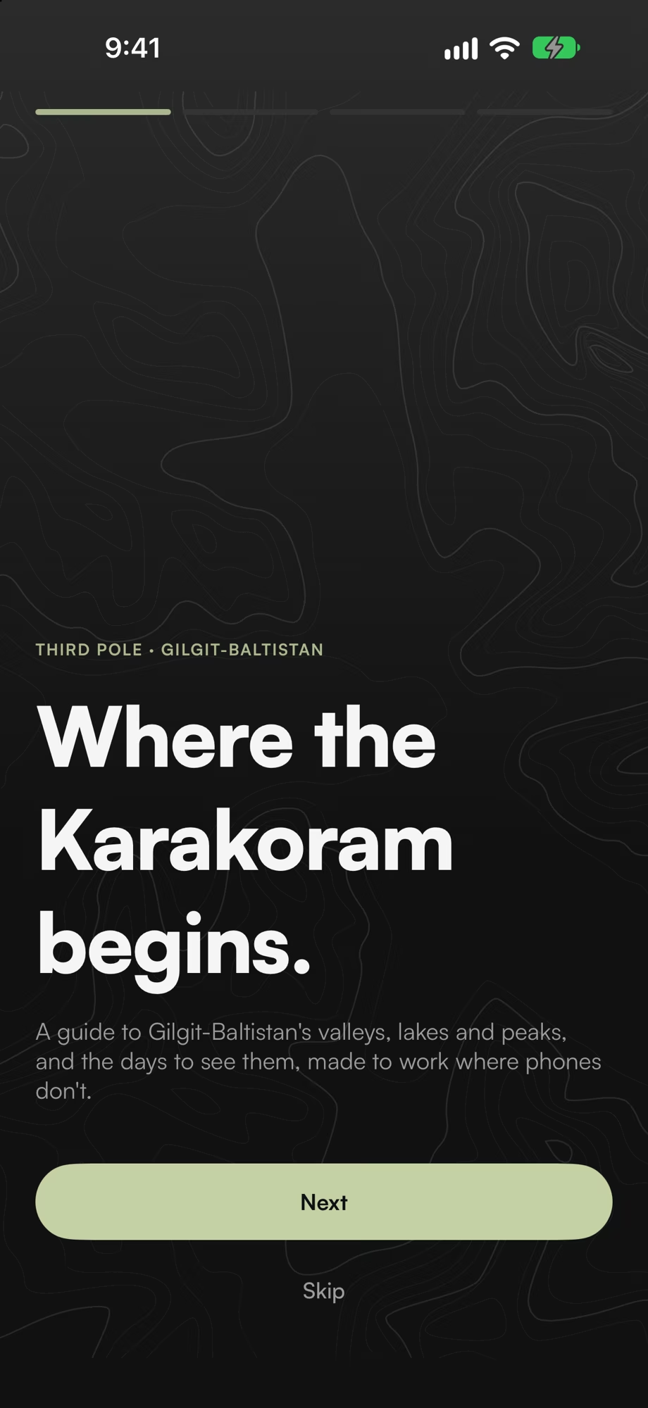
A dark look, easy on the eyes at night and in the glare off the snow, and a light one for bright days, each with one glacier blue, the icon’s, for the main button, routes and your position.
Behind the screens, and in place of a photo without signal, contour lines drawn from the real terrain around each place.
Landmark cards catch the light along the outline of the mountain as you tilt your iPhone.
The map’s buttons and the tab bar float on Liquid Glass, grouped the way iOS groups its own.
Two peaks under a blue sky, in light and dark, and two clear versions for tinted Home Screens.


Made to work where phones don’t.
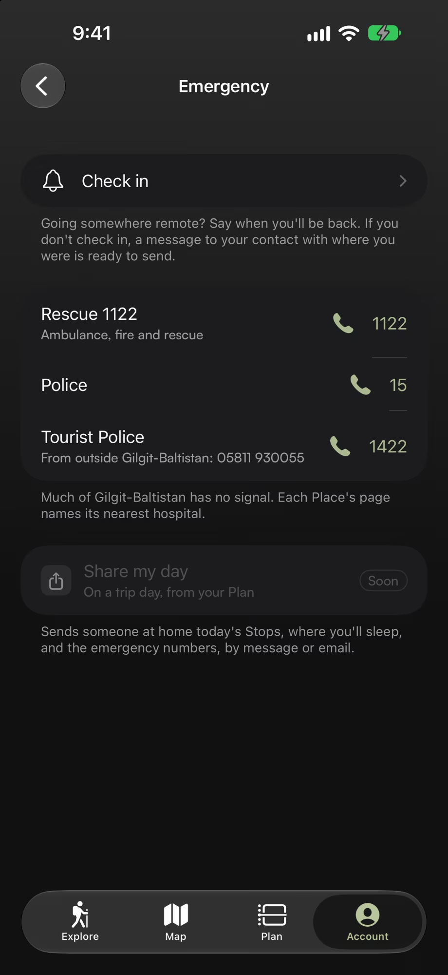
Past the last village, the signal is gone. The guide, your Plan, the maps and the emergency numbers keep working.
Offline maps
Roads, terrain, glaciers and names for each area, downloaded once on Wi-Fi.
Walks
Your position on the trail with the phone locked, and a warning if you leave it.
Someone will know
Check-ins, emergency numbers and the nearest medical help, made for places with little or no signal.
Tech specs
- Platform
- iPhone with iOS 26 or later
- Availability
- Coming soon to the App Store
- Region
- Northern Pakistan: Gilgit-Baltistan, Azad Kashmir, northern Khyber Pakhtunkhwa (Chitral, Swat and Dir, Hazara) and Islamabad’s Margalla Hills
- Guide
- 144 places, 28 trails, 52 towns and camps to stay in, 10 landmarks and the buses between them, updated without an app update
- Planner
- Dates, arrival, who’s coming, travel styles, pace and must-sees; drive times, altitude and seasons
- Maps
- Offline maps with terrain for each of three areas; satellite photos with signal
- Walks
- Follow a trail or record your own; off-trail warnings; GPX export
- Safety
- Check-ins, medical help on the map, Rescue 1122 and the emergency numbers
- Languages
- English, Urdu, German, French, Italian, Japanese and Korean
- Apple Intelligence
- Describe a trip, ask about a place and Plan summaries, on the device
- Privacy
- No ads, analytics or tracking; nothing collected unless you sign in
- Built with
- SwiftUI, SwiftData, MapLibre, WeatherKit, Foundation Models, ActivityKit, WidgetKit and App Intents
- Credits
- Map data © OpenStreetMap contributors. Satellite imagery: Powered by Esri; Esri, Maxar, Earthstar Geographics and the GIS User Community. Weather: Apple Weather.